
Before & After: Soil Bioengineering Over Time
David Polster's dated field records follow restoration sites across years and decades. They document changes in slopes, banks, and gravel bars after treatment.
Each linked record follows a restoration site through dated field observations as cuttings root, sediment accumulates, and woody cover develops. The cards show one representative image and link to the fuller dated record. The images are not presented as matched camera-position comparisons unless the linked record establishes that relationship.
 2013 – 2015
Colquitz Creek: Wattle Fences
A bare disturbed slope treated with contour-aligned wattle fences, followed through first-season willow growth and later woody cover.
See the full sequence →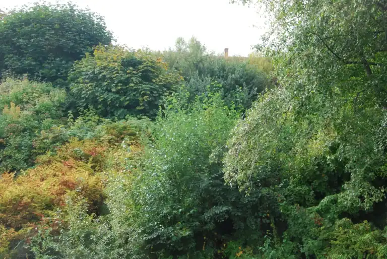 2016 – 2018
Juniper Place: Landslide Repair
Live material established across a former landslide and developed into dense woody cover in the dated field record.
See the full sequence →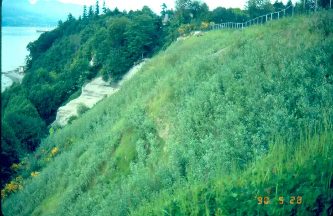 Installed 1990s
UBC Sea Cliffs: Wattle Fences
A sea-cliff slope at UBC treated on the contour with wattle fences and brush layers, with later images showing dense willow cover.
See the full sequence →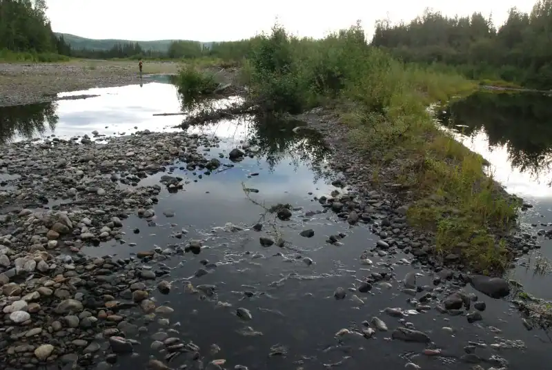 2004 – 2014
Germaine Creek, Klondike River: Gravel Bar Staking
The dated Germaine Creek record shows installed willow cuttings, accumulated sediment, and developing vegetation over a decade.
See the full sequence → 1998 – 2014
San Juan River: Gravel Bar Staking
The dated San Juan River record shows woody debris and sediment accumulation followed by development of a dense willow stand.
See the full sequence → 2002 – 2014
Seaton River: Pocket Planting
A bare riprap bank pocket-planted with rooted stock, followed for more than a decade as it developed continuous woody cover.
See the full sequence →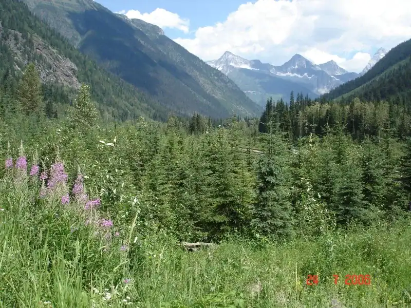 1989 – 2006
West Portal, Mount Macdonald Tunnel: Natural Succession
The dated West Portal record documents rough-and-loose tunnel muck, Sitka alder establishment, and later conifer canopy development.
See the full sequence →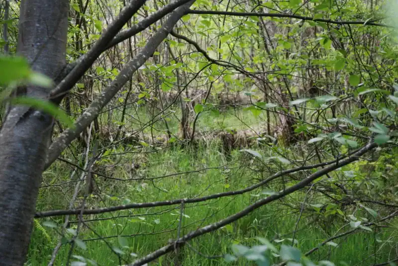 Field sequence
Vancouver Island Highway: Erosion Control to Bioengineering
The dated highway record documents failed erosion-control products, subsequent wattle-fence and live-pole-drain installation, and later vegetation.
See the full sequence →Put these methods to work on your site
Polster Environmental Services designs and installs soil bioengineering and natural-process restoration across British Columbia, including mine reclamation, riparian restoration, and slope stabilization.
Mount Klappan: reclamation over time
A source-backed before-and-after record from PES's Mount Klappan reclamation work in northwestern British Columbia.
Source: D.F. Polster and L.J. Pituley, Mount Klappan Coal Project: 10 Years of Reclamation Experience in Northwestern B.C. (1994). The original photographs are labelled “before” and “after”; this is a documentation record, not a fixed-camera survey.